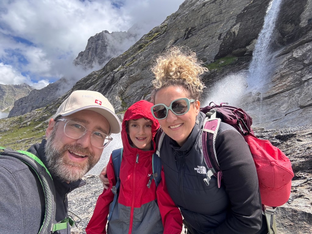
A dramatic day hiking Switzerland’s Eiger Trail.
📅 July 17, 2025
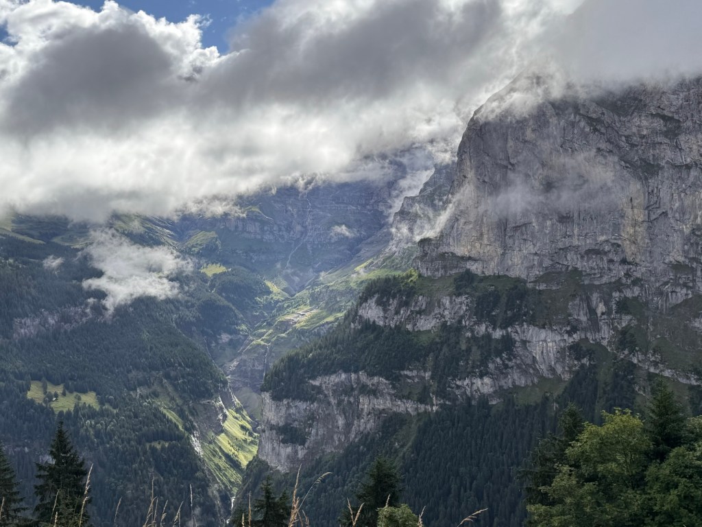
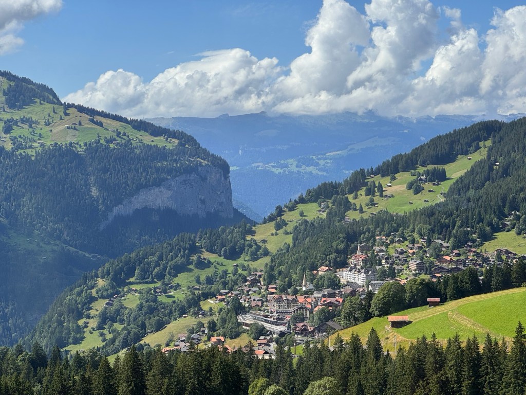
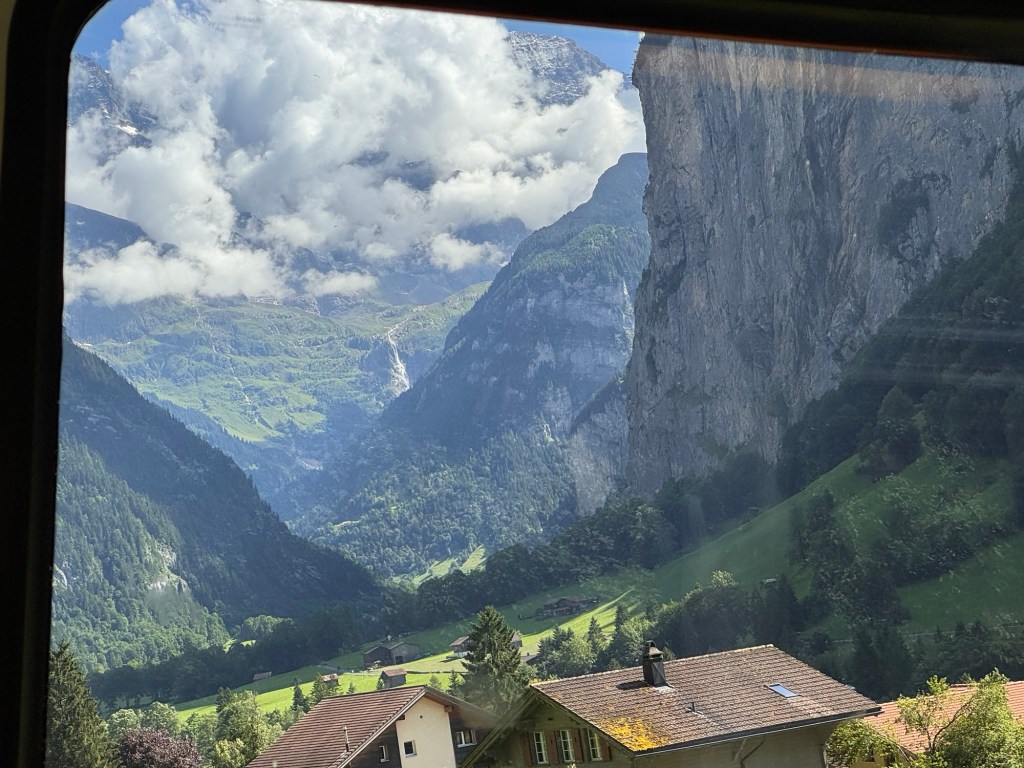
Every morning in Mürren feels like waking in a dream — cool mountain air, wildflowers outside our window, and snow-dusted peaks saying good morning. Thursday was no exception. Clouds drifted between the cliffs like secrets, hinting at a day of surprises.
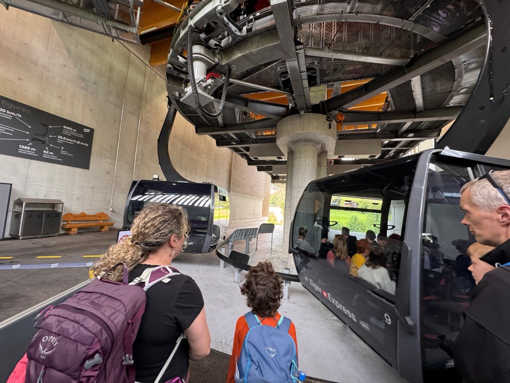
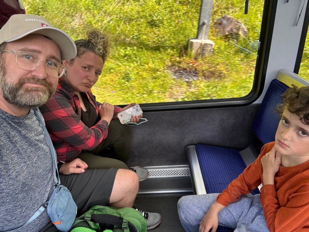
We packed up and began our familiar journey: five-minute walk to the station, four-minute train to Grütschalp, cable car down to Lauterbrunnen, and another train to Grindelwald. But when we tried to scan our Berner Oberland Pass for the final cable car — denied. Turns out, the pass no longer includes some of the big Top of Europe lifts. So we bought tickets with our Swiss Half-Fare Card and shrugged it off. A little unexpected detour never stops us.

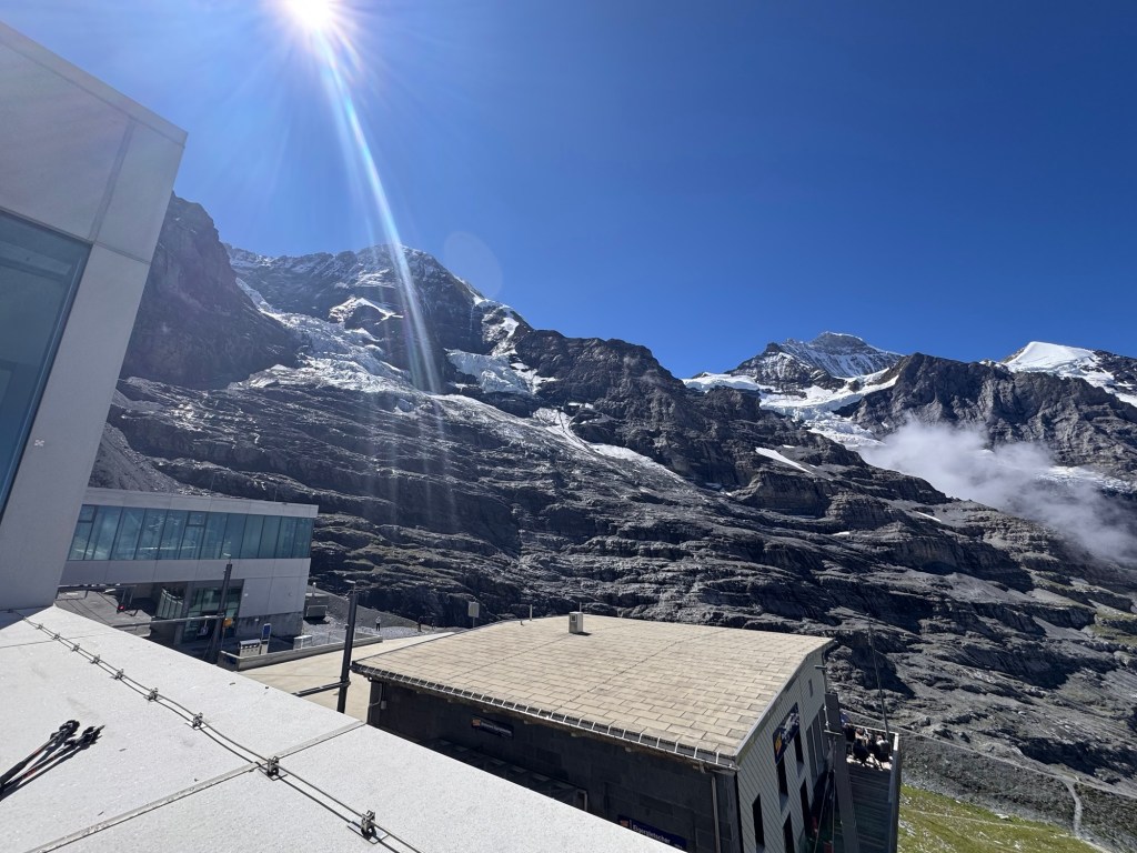
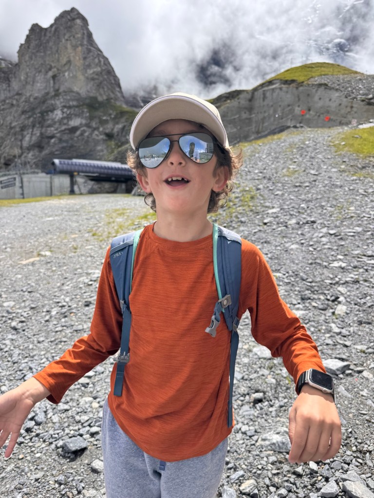
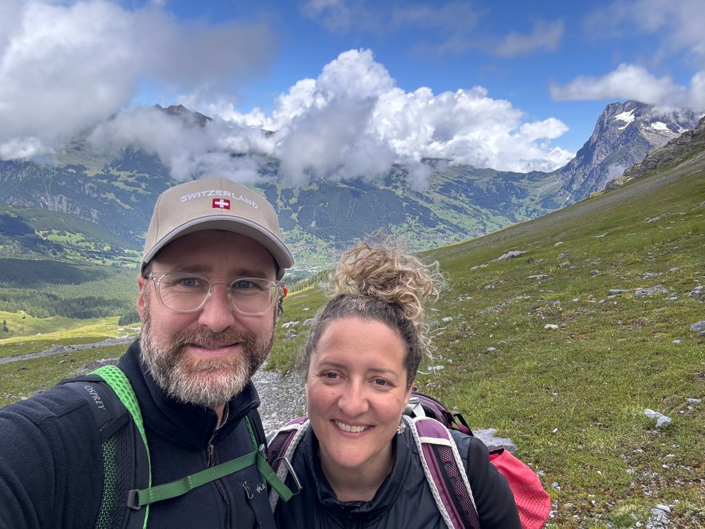
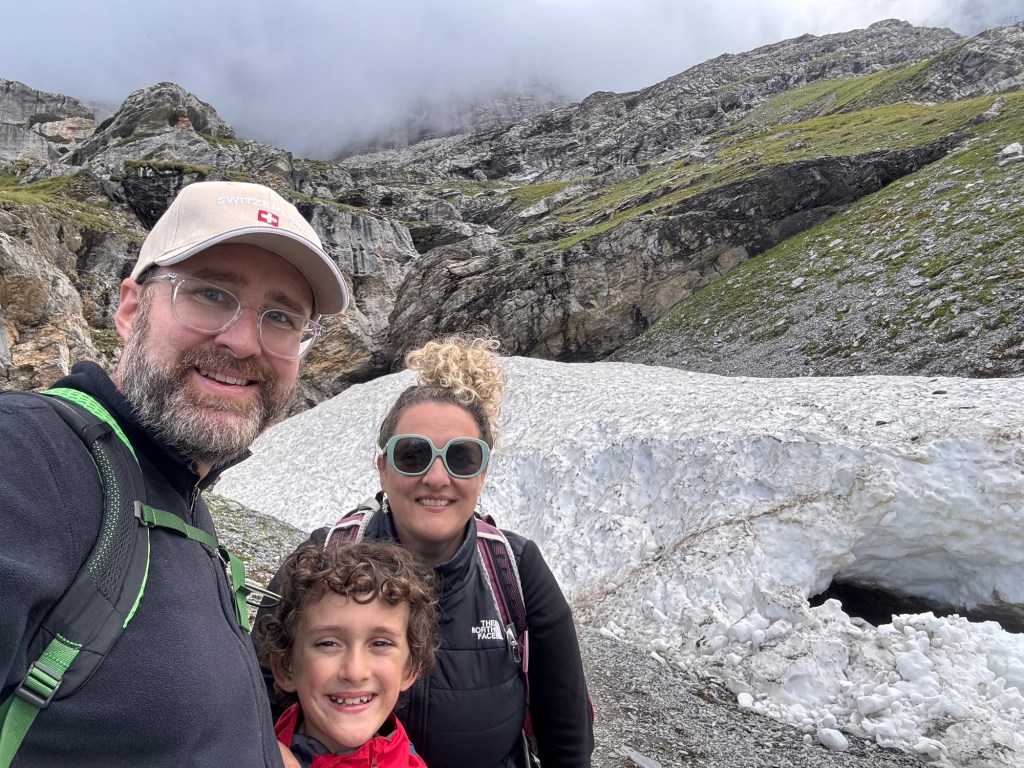
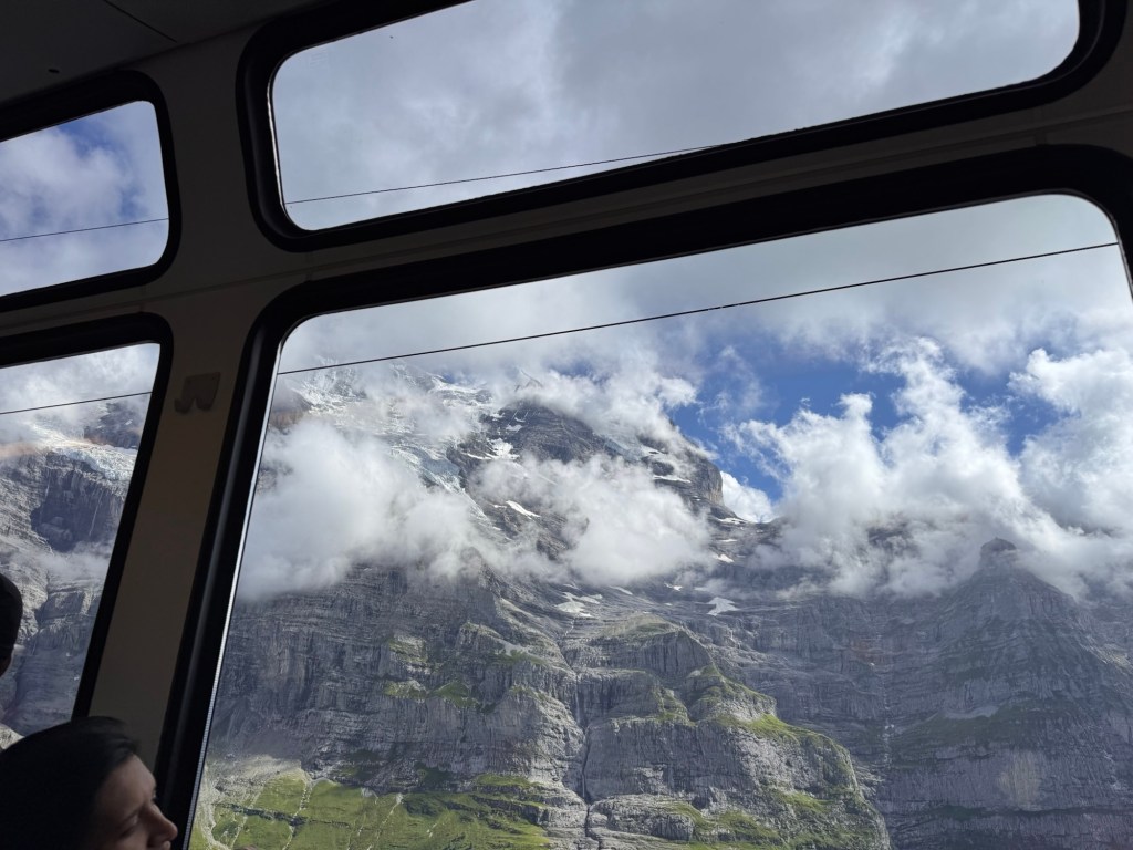
The Eiger Express gondola carried us high above Grindelwald valley. As we rose, clouds swallowed the landscape — and just when we thought our epic hike would be lost in fog, we burst into sunlight. At 2,320 m (7,611 ft), the Eigergletscher station delivered clear skies and crisp alpine air.
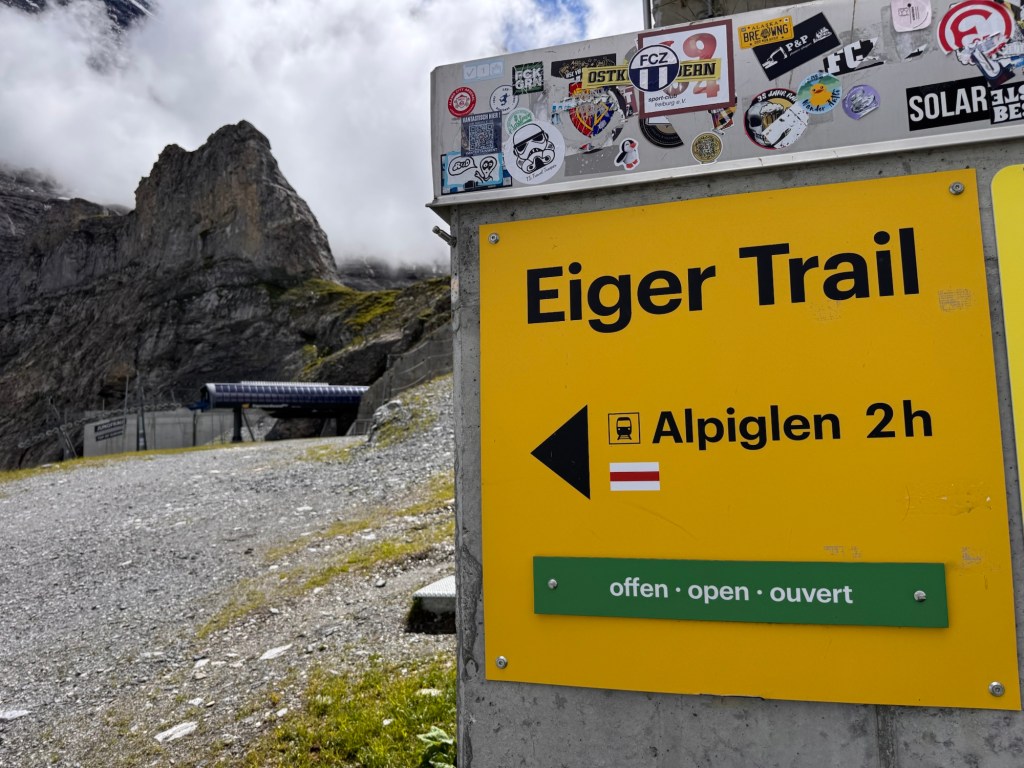
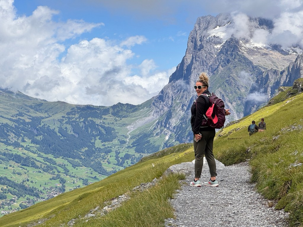
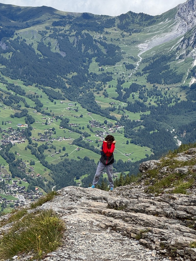
Before this trip, the Eiger was just a postcard — jagged, untouchable, legendary. But today, it stood before us like a stone giant, and we were about to hike along its flank. The Eiger Trail stretches from Eigergletscher to Alpiglen, dropping over 700 m in just 6 km (3.7 miles). It’s no loop and definitely not flat — but it’s accessible, breathtaking, and humbling in all the best ways.
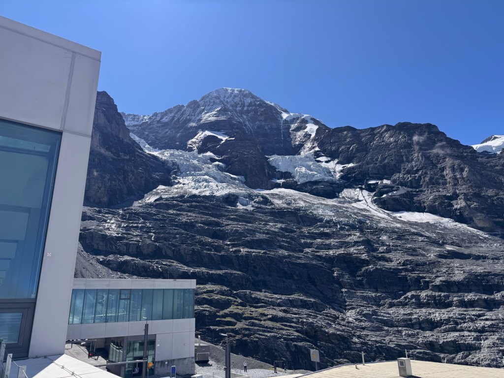
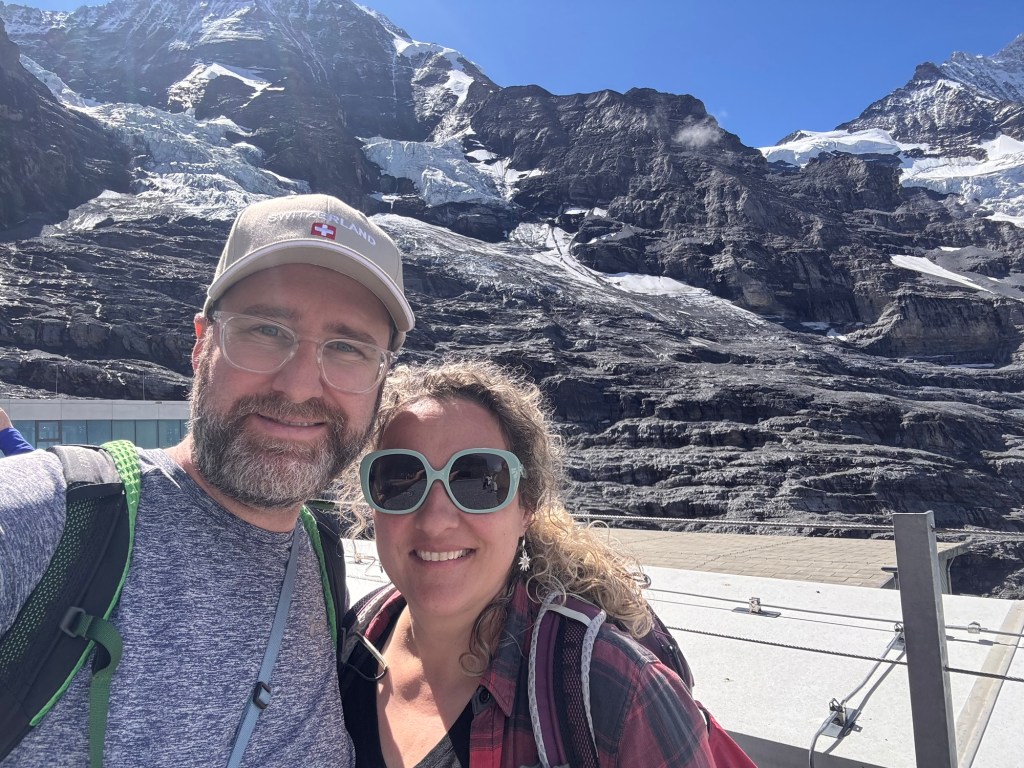

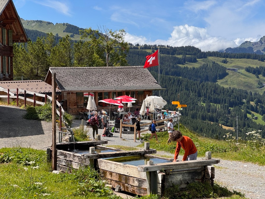
We took a few minutes to acclimate, then stepped out into the sunlit snowfields. The glacier loomed beside us, and below, clouds churned in the valleys. We found an empty panoramic deck and unpacked lunch at the counter-like benches — eating in silence, just soaking it all in.
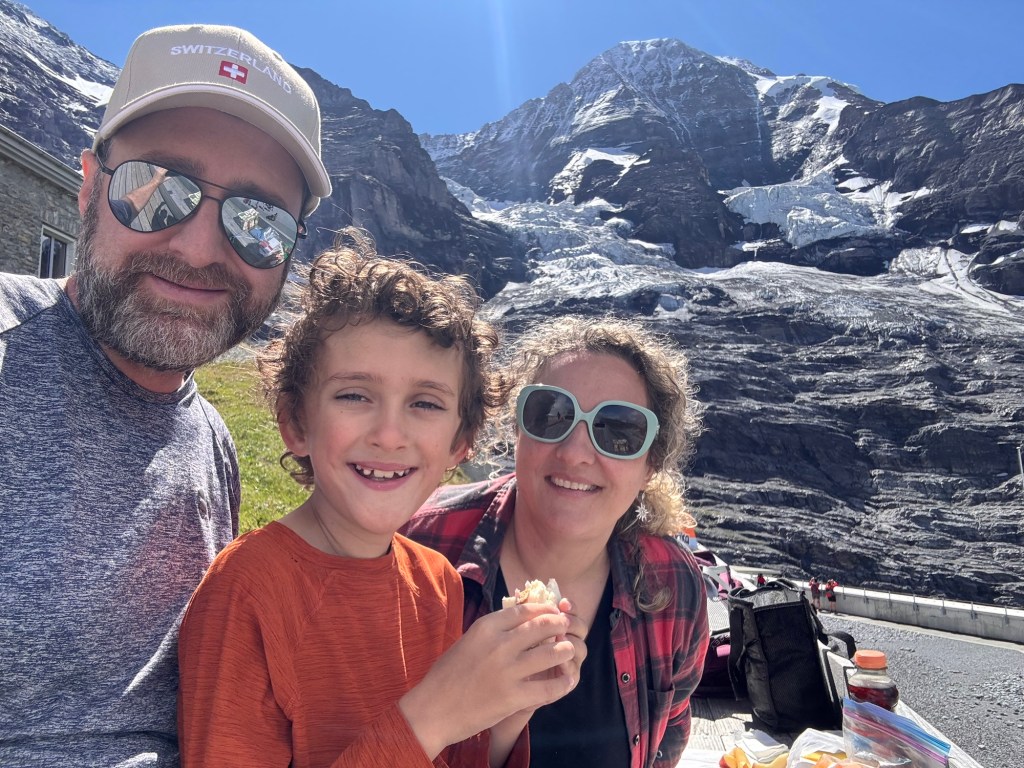
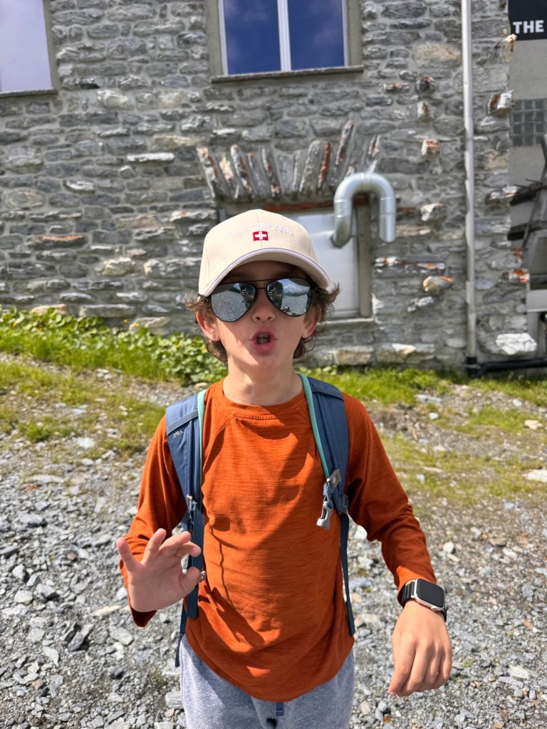
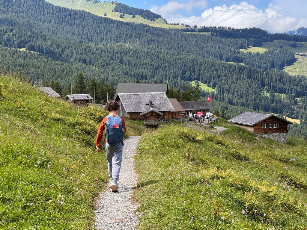
After refueling, we laced our shoes and found the trailhead. The sun was still shining, so we paused for sunscreen and deep breaths.
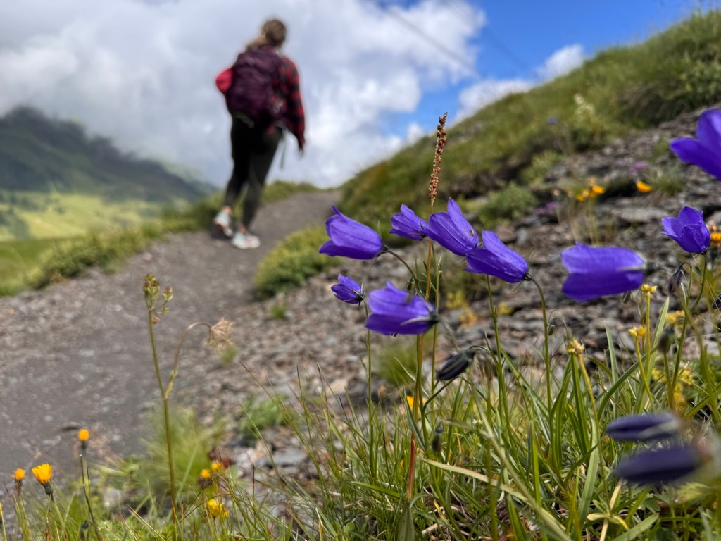
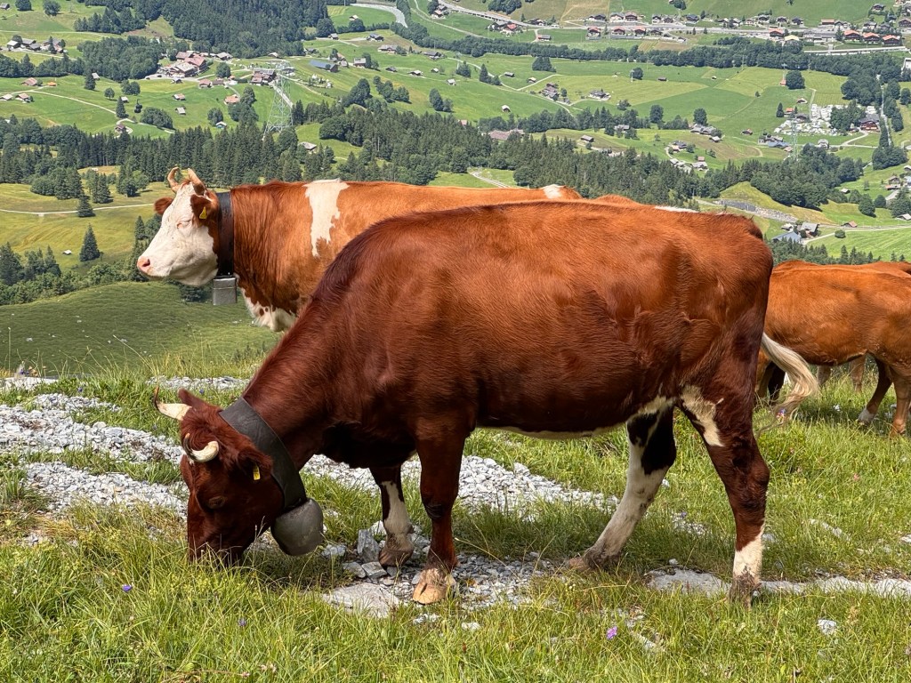
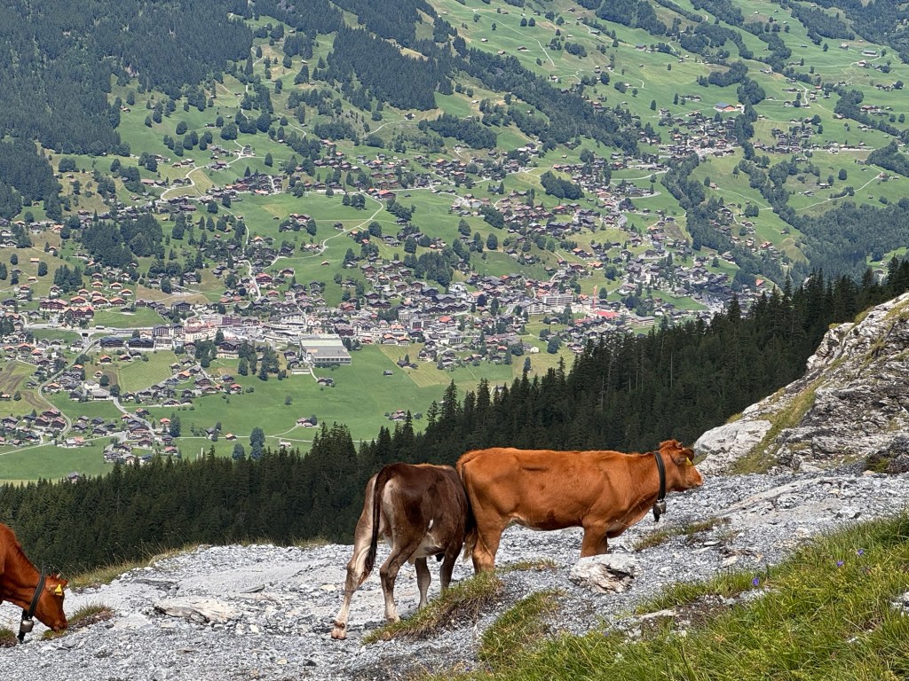
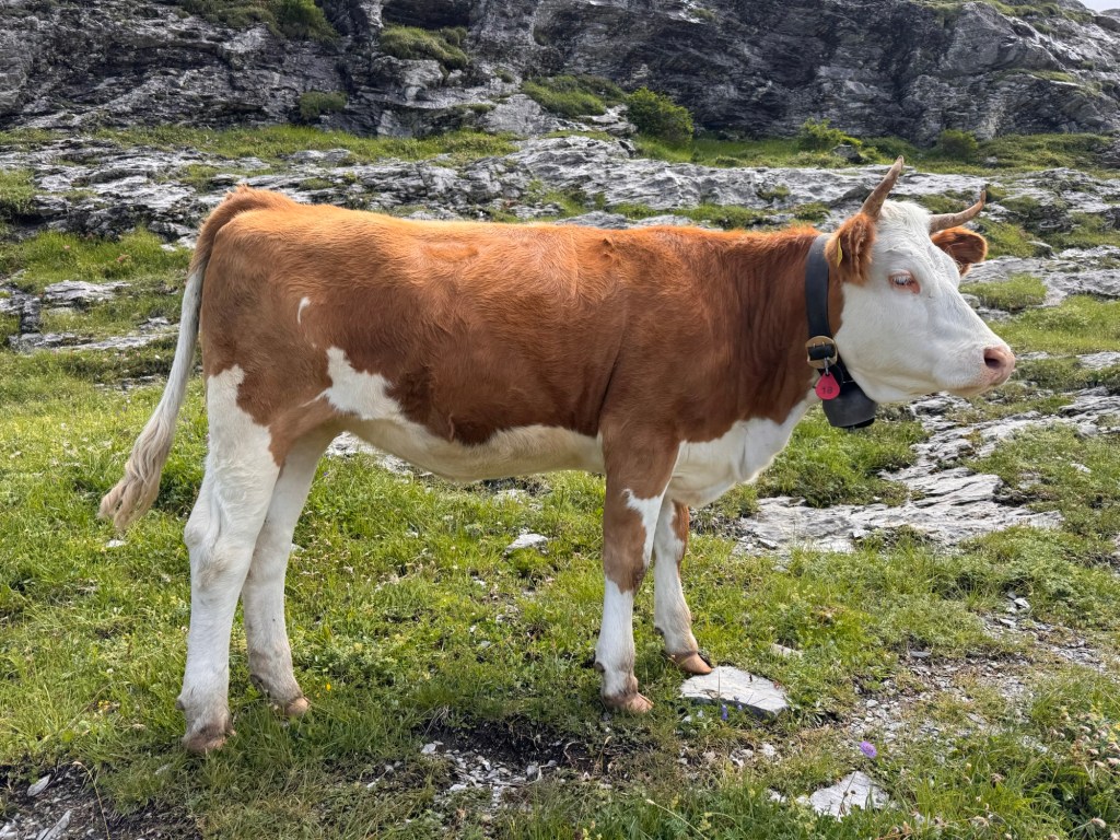
Alpine simply means: of the high mountains. In Switzerland, it means meadows above the treeline, sharp peaks above the clouds, and silence broken only by cowbells and the crunch of stone underfoot.
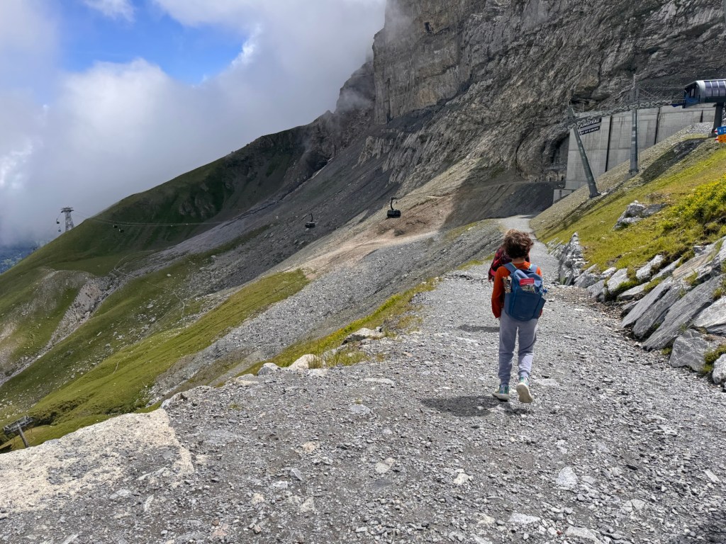
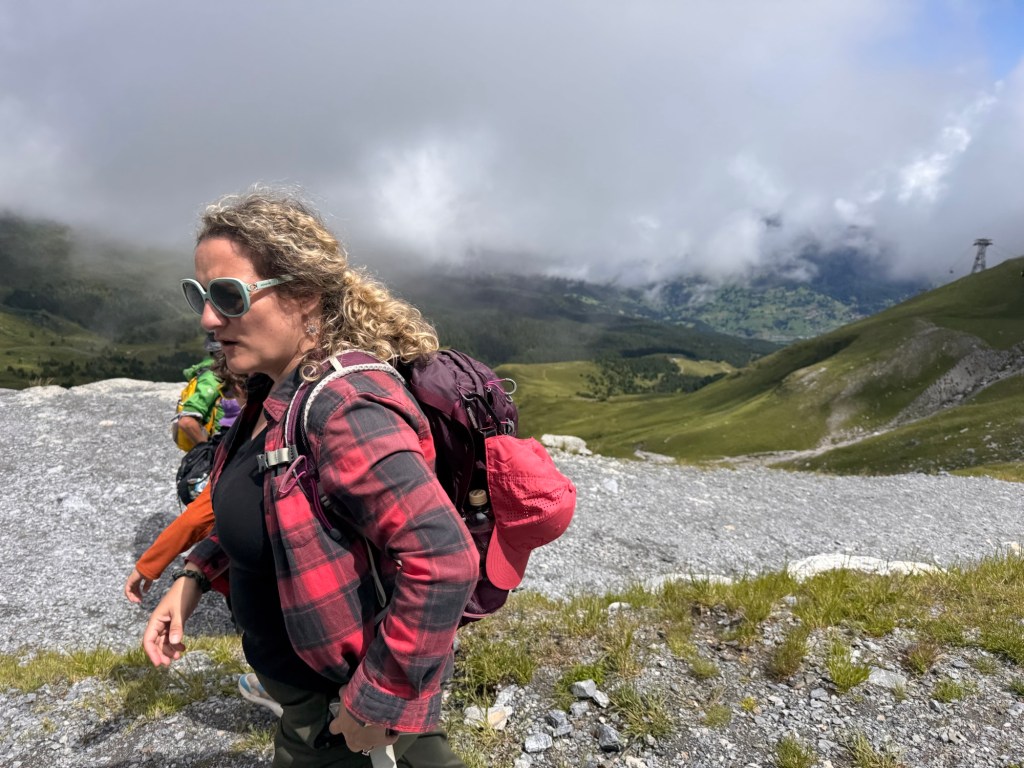
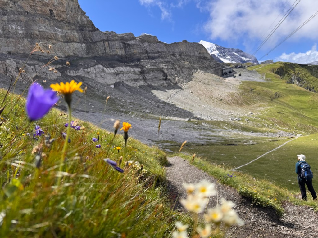
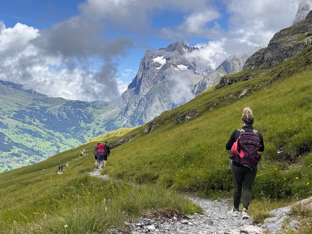
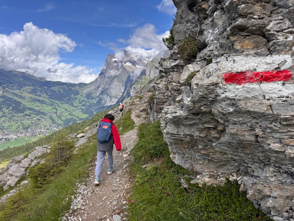
We followed the rocky path, weaving past slate slopes and pockets of wildflowers. Other hikers passed by, but the trail never felt crowded — just shared.
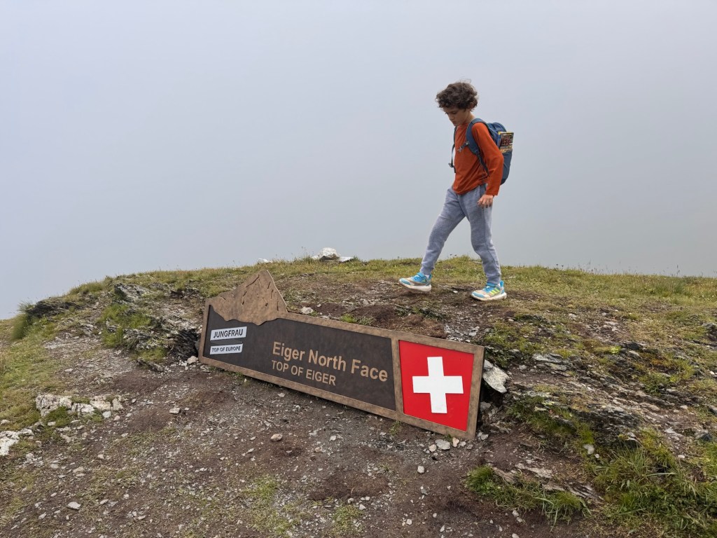
One uphill stretch led us straight into the clouds again. The gentle descent paused, and we climbed — slower now, breath thinner. At the highest point of the trail, a sign and a pair of benches marked the summit. But the view was gone — swallowed by mist.
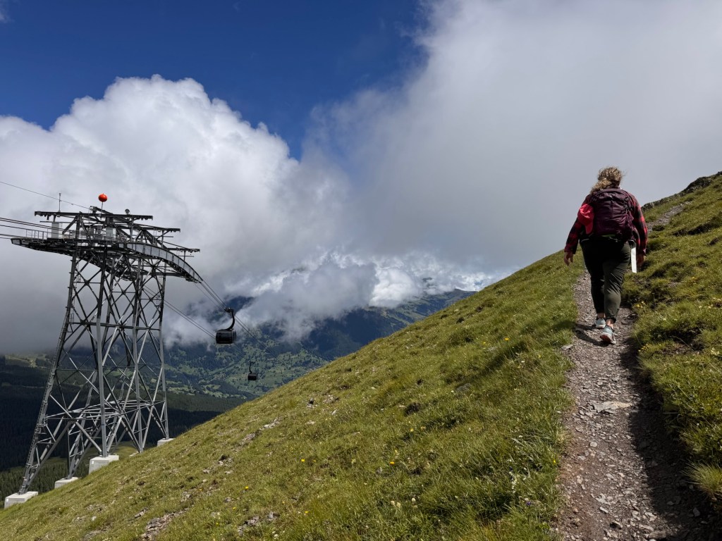

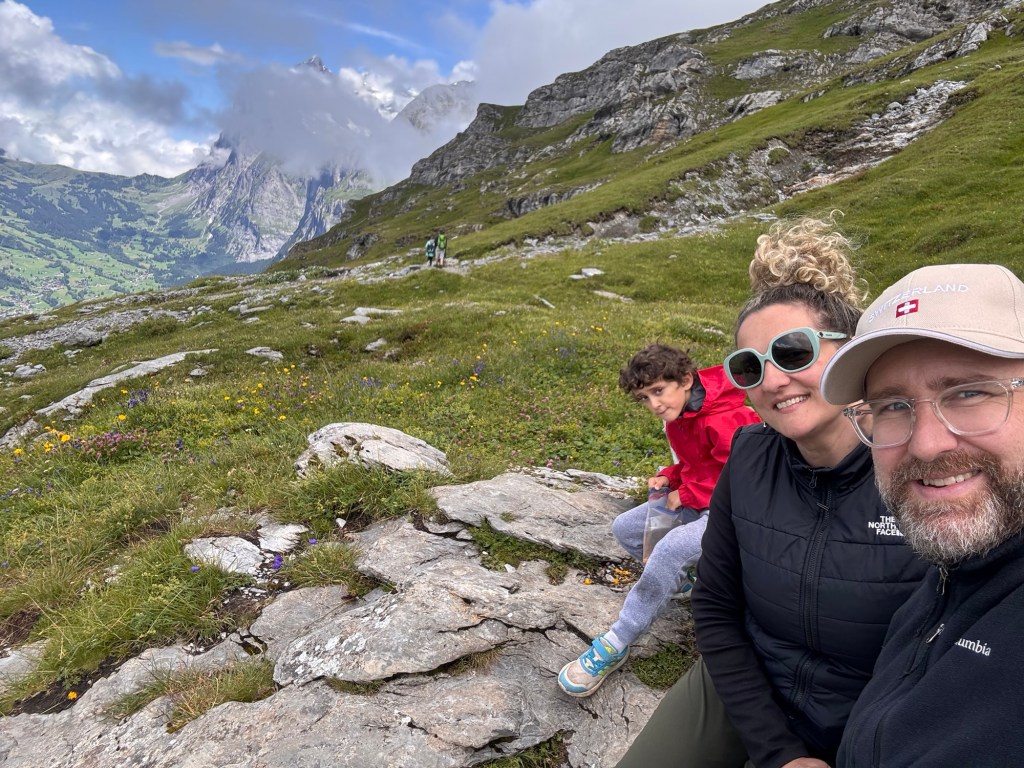
We paused to snack and rest. I tried launching the drone above the cloud layer (spoiler: TikTok coming soon), but even the sky seemed quieted by fog. So we packed up and kept going. From here, the path dropped.
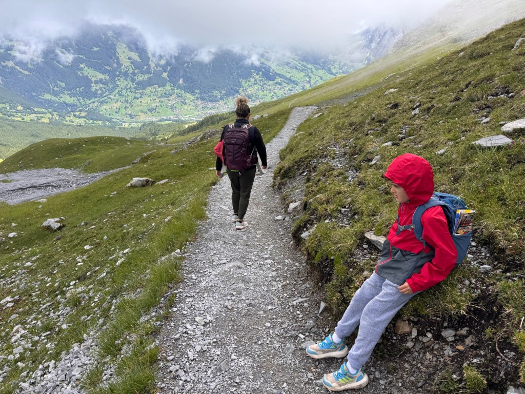
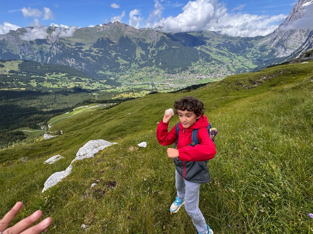
Somewhere along the way, Jonas discovered magic. Rubbing rock on rock created a fine white powder, and he named it “magic powder.” He offered it generously as we hiked.
He also whispered his snowball plan: if we found snow, we’d ambush Alina. I smiled but silently doubted we’d find snow this low.
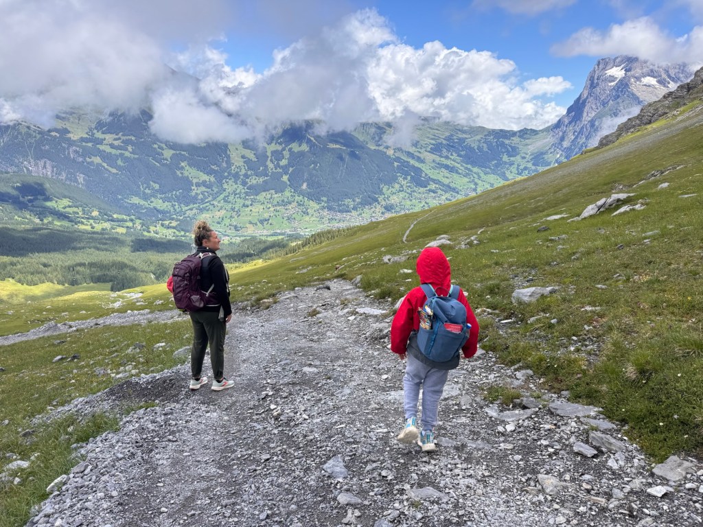
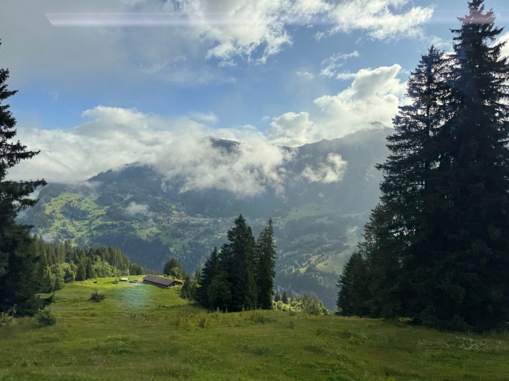
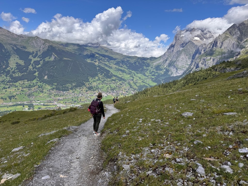
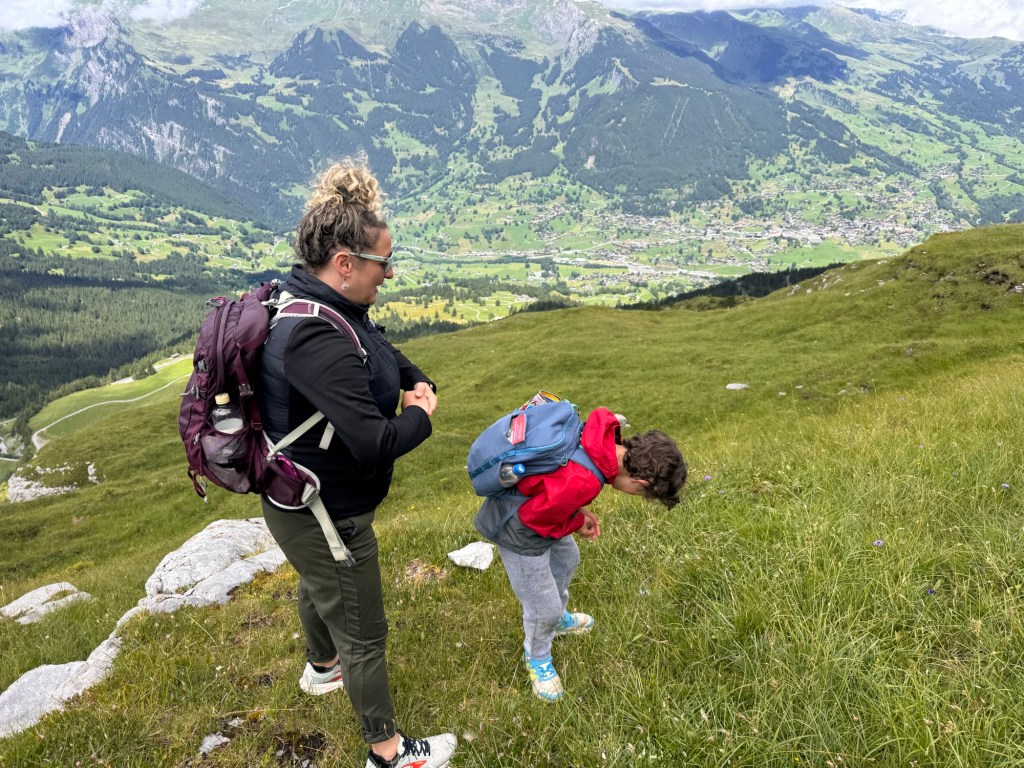
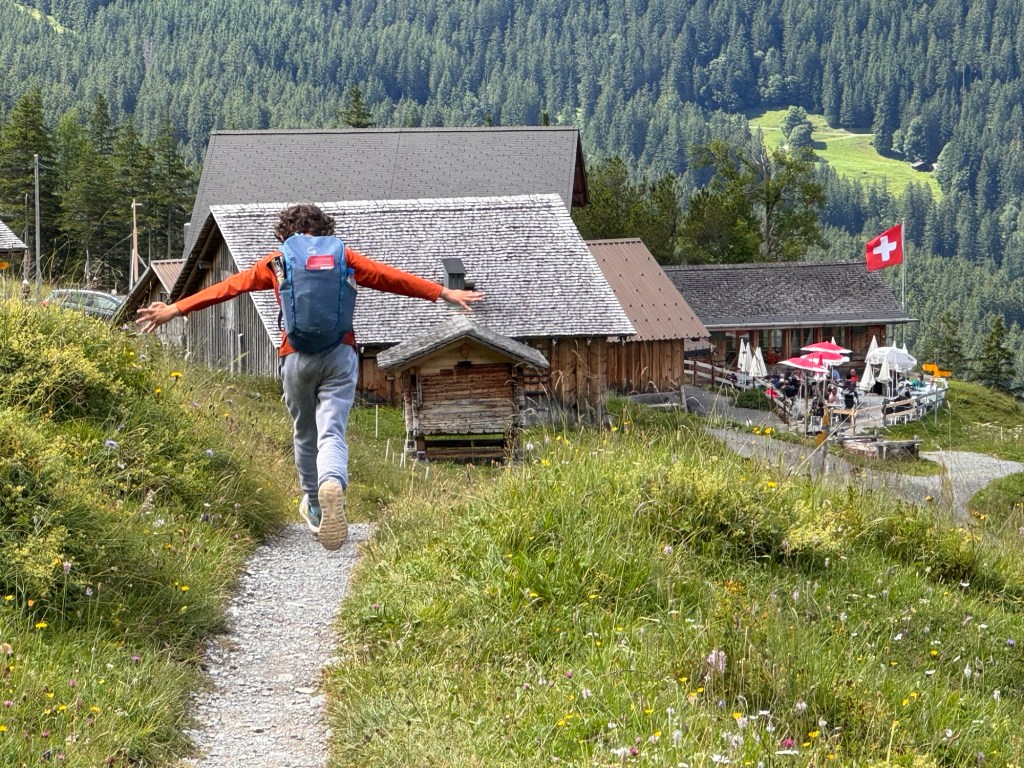
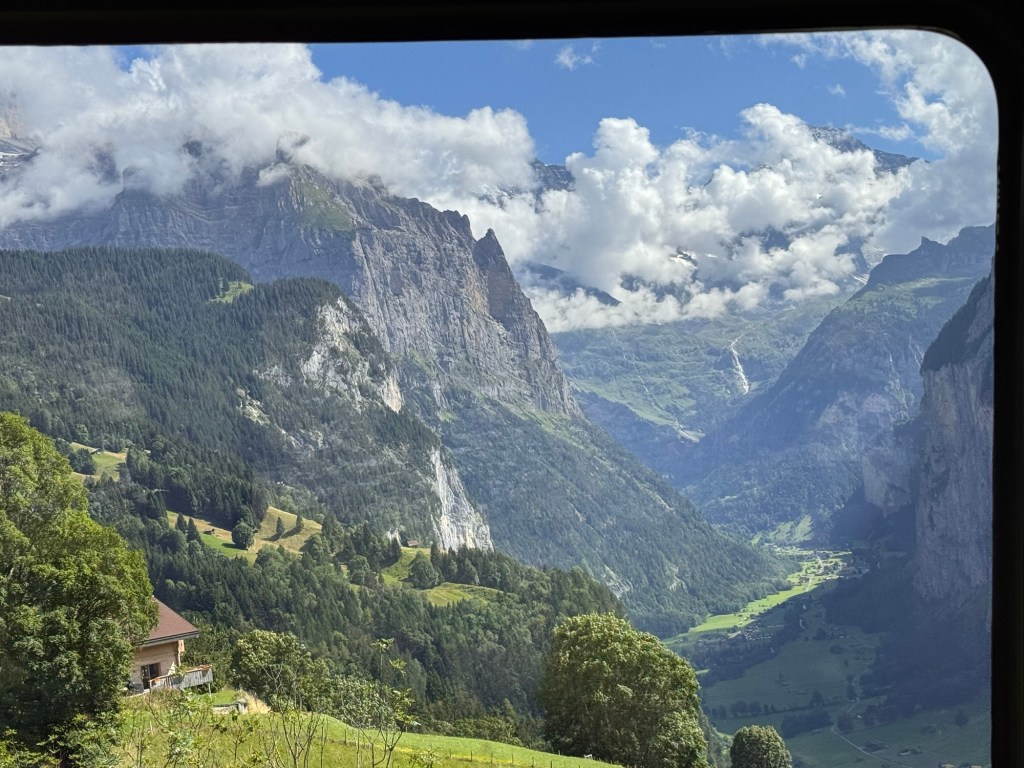
As we lost elevation, the clouds behind us cleared. Ahead, the Grindelwald valley began to take shape. The jagged trail gave way to soft, grassy ridges. Every few turns brought new waterfalls and stream crossings.
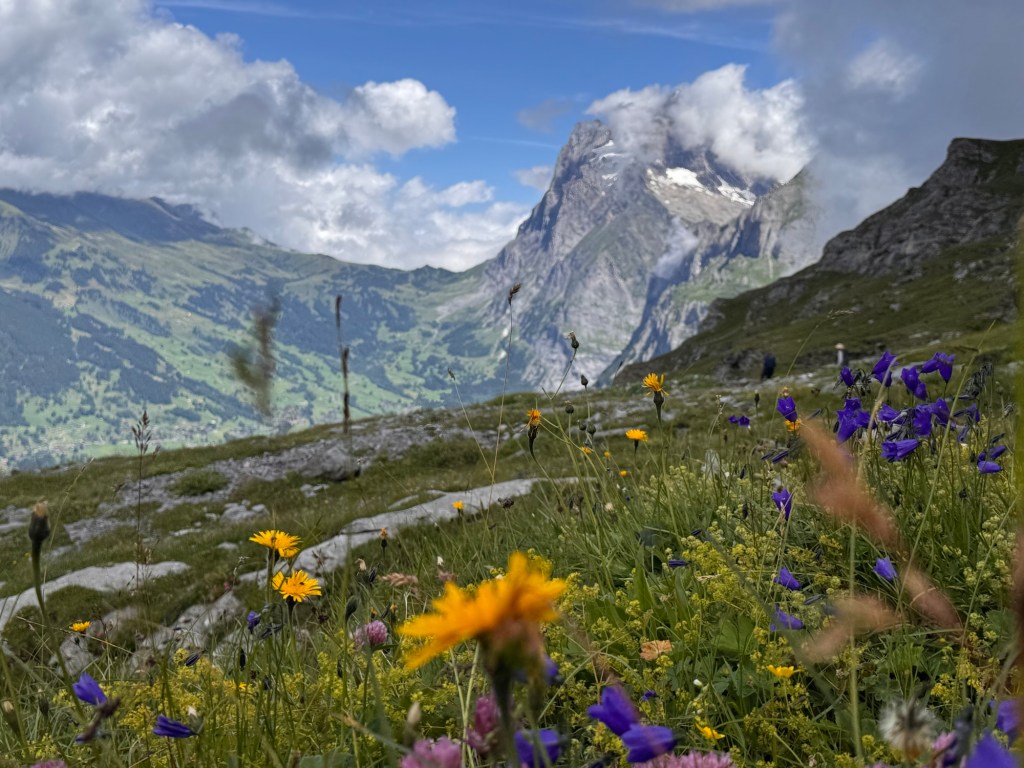
That’s the Wetterhorn in the distance — standing tall at 3,692 meters (12,113 feet) above the Grindelwald Valley. While the Eiger gets all the fame, this dramatic peak often steals the show on the trail from Eigergletscher to Alpiglen.
And then — a snowbank across the trail. Jonas lit up. With snowball in hand, he launched the surprise attack. Laughter echoed down the switchbacks.
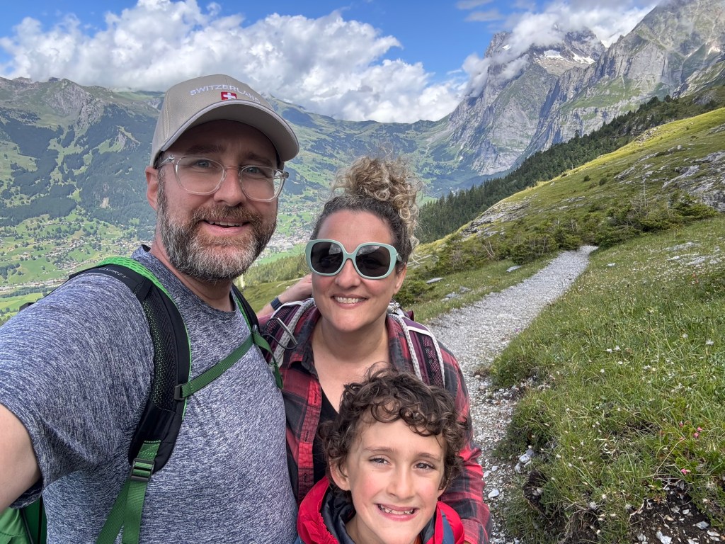
The Eiger towered to our right, the valley unfolded to our left, and our little trio hiked between them — tiny figures in a story too big to explain.
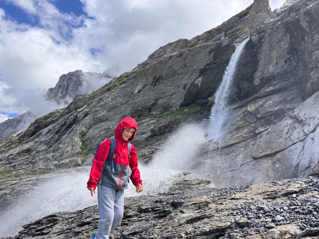
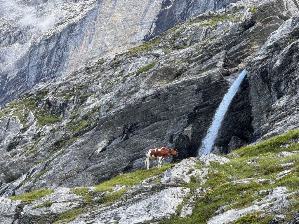
Eventually we came to a turning point in the trail and we had a hard time comprehending what we were seeing…
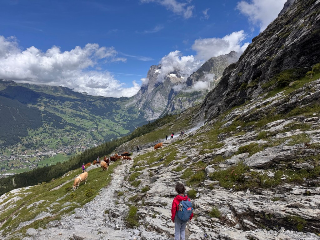
Further up on the trail, a herd of cows were grazing, with a few hikers milling on the rock and grass slopes. But there was also, a spout and spray of water that seemed to be gushed out of a hidden depression on the side of the trail.
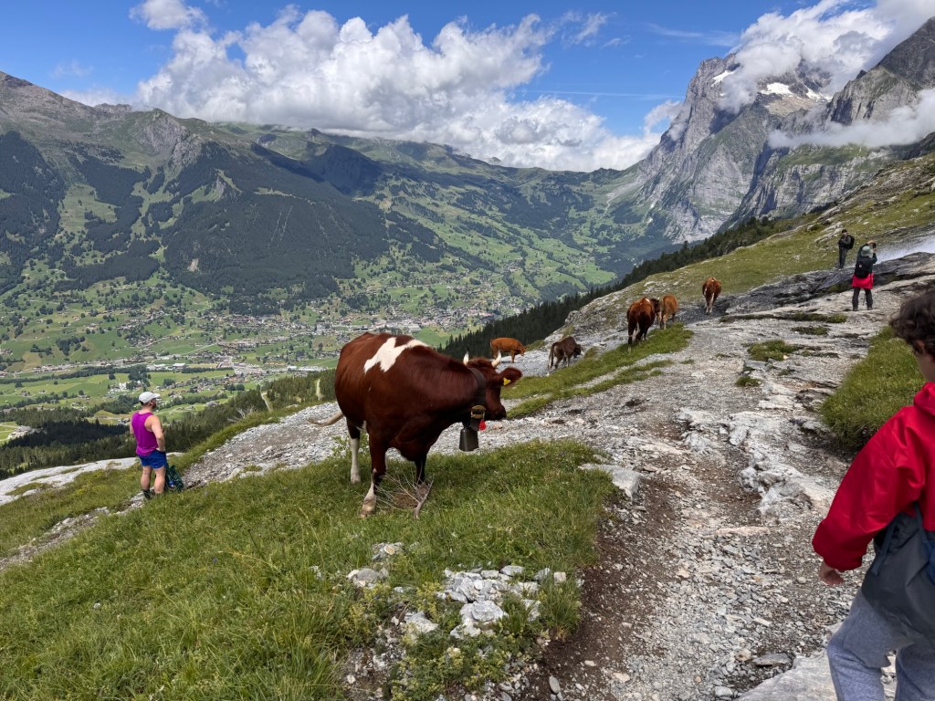
As we hiked closer, the cows continued to calmly chew their cud, the hikers admired the view, and the gushing water grew larger and larger.
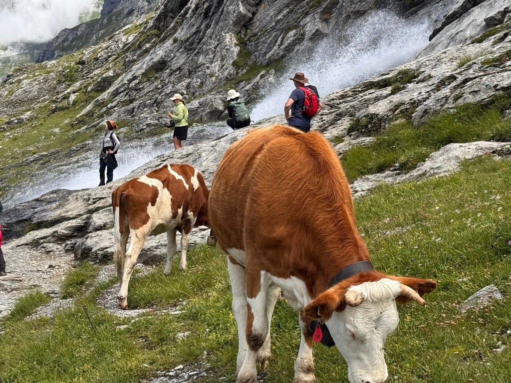
When we got close enough, we could see that a waterfall was pouring off the mountain, bouncing down the rock face in a shower that reminded me of a firehose. We turned from the rushing waterfall and continued our decent down the mountain.
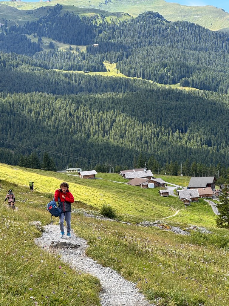
The trail wound further down, and after 3.7 miles and 3.5 hours, we arrived at Alpiglen — a quiet outpost with a train station, a few houses, and one small restaurant.
As we ended our hike, Jonas was in the lead, running down the trail with a victors sprint… and that’s when he fell. He had slipped on the sandy rocks and hurt his shoulder, legs and elbows. After many tears, he splashed cold water on his face and tried to deal with the pain.
We thought about staying for a celebratory ice cream, but with the next train arriving soon and a long trip home ahead, we decided to skip it.
The cogwheel train took us up to Kleine Scheidegg, where we transferred toward Lauterbrunnen.
On the way down, Jonas made a new friend — a boy from India, whose family now lived in Poland. They played quietly with Legos for a few minutes, like they’d known each other for years.

By the time we reached Mürren, our legs were sore, our bellies were empty — but our hearts were full.
🏙️ Highlights of the Day
Eiger Trail – Steep paths, alpine drama, and one unforgettable family hike.
Surprise Clouds – Weather threatens the views, but we descended to beauty below the clouds
Snowball Fight – Jonas unleashes winter mischief in midsummer.
🧳 Parenting & Perspective
Letting kids lead the adventure can turn effort into joy.
We didn’t push Jonas to hike faster or harder — instead, we let him lead the pace. When he turned a snow patch into a game, the day transformed. That shift reminded us that joy isn’t just in the summit, but in the moments along the way.
🏛️ Travel Tips
Getting There: Train to Eigergletscher from Lauterbrunnen via Kleine Scheidegg
Trail Details: Eigergletscher → Alpiglen, ~6 km, moderate downhill, allow 2.5–3 hours
Gear: Warm layers, good hiking shoes, water, snacks, and optionally, trekking poles (wished we had these)
Weather: Check the MeteoSwiss app — storms can roll in quickly
Alpiglen: Train station has limited facilities — plan for your return trip in advance
✨ Favorite Quote or Moment
Jonas, eyes wide and laughing: “Daddy– do want some magic powder?!” We tried to get him to call it something else… magical dust…power powder– because, well… that one had other connotations. 😄
↺ Related Posts
012 Slugs & Spycraft
Panoramic peaks, Bond World thrills, and quiet moments in Mürren’s misty heights.

Leave a reply to 014 Reflection & Rest – The Tullmann Travels Cancel reply